


Ancient submerged walls hint at lost Atlantic settlement
Stone structures lying beneath the Atlantic off the western coast of France have drawn renewed scientific attention, with researchers saying the scale and organisation of the remains point to a large human settlement dating back about 7,000 years. The find centres on a sprawling network of granite walls resting on the seabed, including a continuous section extending close to 400 feet, assembled from megaliths whose combined weight […] The article Ancient submerged walls hint at lost Atlantic settlement appeared first on Arabian Post.

Stone structures lying beneath the Atlantic off the western coast of France have drawn renewed scientific attention, with researchers saying the scale and organisation of the remains point to a large human settlement dating back about 7,000 years. The find centres on a sprawling network of granite walls resting on the seabed, including a continuous section extending close to 400 feet, assembled from megaliths whose combined weight is estimated at roughly 7.2 million pounds.
Marine archaeologists and geologists working in waters near Brittany say the walls show deliberate construction rather than natural fracture patterns. Sonar mapping, underwater photogrammetry and sediment analysis indicate that the stones were positioned when sea levels were considerably lower, during the early Neolithic period, before post-glacial melting reshaped Europe’s coastlines.
The site sits several metres below present sea level, in an area that would have been dry land between about 5000 and 4000 BCE. At that time, coastal plains stretched far beyond today’s shoreline, supporting early farming communities. Researchers argue that the geometry of the walls, their alignment with palaeo-shorelines and the selection of granite blocks of comparable size are inconsistent with random geological processes.
According to specialists involved in the surveys, the longest wall appears to curve gently, forming what could have been a boundary or protective structure. Shorter segments branch off at angles, suggesting internal divisions. While no definitive house foundations have yet been identified, the pattern resembles other Neolithic enclosures found on land in western Europe, particularly those linked to early agricultural societies.
Granite of the type used in the walls is abundant onshore in Brittany, but transporting and positioning stones weighing several tonnes would have required coordinated labour and social organisation. Archaeologists say this implies a settled population with the capacity to plan large construction projects, rather than small, transient groups of hunter-gatherers.
The discovery has been made possible by advances in marine survey technology. High-resolution multibeam sonar first detected linear anomalies on the seabed, prompting targeted dives using remotely operated vehicles. Subsequent analysis revealed tool marks on some stones and evidence of intentional stacking. Radiocarbon dating of organic material trapped beneath the walls has provided age estimates consistent with early Neolithic activity.
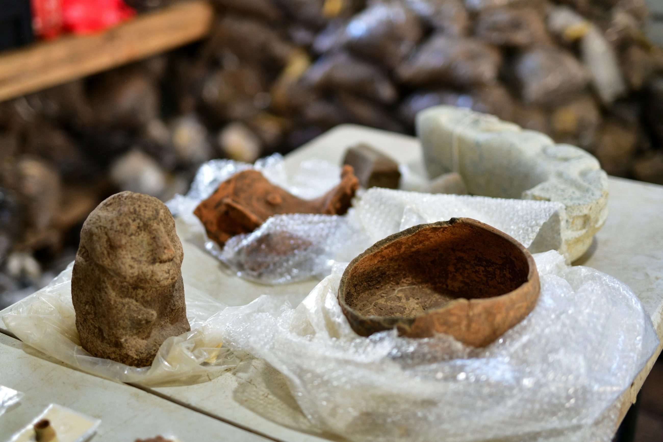
Scientists caution that the term “lost city” should be used carefully. No streets, dwellings or artefacts such as pottery have yet been recovered directly from the structures. Instead, they describe the site as a substantial built landscape, potentially serving defensive, ceremonial or territorial purposes. Further excavations are planned to search for associated cultural material buried under layers of marine sediment.
The broader significance lies in what the site reveals about human adaptation to changing environments. Rising sea levels after the last Ice Age inundated vast tracts of coastal land across Europe, submerging settlements and reshaping migration patterns. Many archaeologists believe that numerous early communities now lie underwater, largely unexplored due to the challenges and cost of marine research.
Comparable submerged sites have been documented in the North Sea, where remains of Mesolithic camps form part of the area known as Doggerland, and in the Mediterranean, where drowned Neolithic villages have been identified off the coasts of Croatia and Israel. The French site stands out for the sheer mass of stone involved and the apparent complexity of the layout.
Geologists involved in the project stress that natural explanations have been rigorously tested. Fractured bedrock, glacial erratics and storm-driven rock movement can produce linear features, but modelling suggests such forces could not account for the regularity, scale and orientation observed here. The walls also sit atop older sediment layers rather than being embedded within bedrock, supporting the case for human construction.
The research has attracted interest from historians studying the spread of farming along Atlantic Europe. If confirmed as a settlement or enclosure, the site would push back evidence of large-scale construction in the region and offer insights into how early communities organised space and resources along prehistoric coastlines.
The article Ancient submerged walls hint at lost Atlantic settlement appeared first on Arabian Post.
What's Your Reaction?