La Niña’s influence set to wane as Pacific shifts to neutral state
Forecasters are positioning what has been one of the weakest La Niña events in years to diminish through the first half of 2026, with climatologists projecting a transition to neutral Pacific conditions between February and April. This shift, shaped by evolving ocean-atmosphere interactions across the equatorial Pacific, could lessen the climatic imprint of La Niña on global weather patterns and open the way for the next stage […] The article La Niña’s influence set to wane as Pacific shifts to neutral state appeared first on Arabian Post.

The tropical Pacific continues to exhibit below-average sea surface temperatures in key monitoring regions, but models indicate that these cool anomalies are gradually weakening and that neither cool nor warm conditions will dominate later in spring. According to the most authoritative climate outlooks, the probability of a move to ENSO-neutral conditions stands slightly above half for the February-April period, with neutral status likely to extend through the Northern Hemisphere’s summer months. Beyond that, long-range forecasts show growing odds of an El Niño event taking hold by mid-to-late 2026, though confidence remains tempered by inherent uncertainties in seasonal climate prediction.
This anticipated shift is rooted in changes in ocean heat content and atmospheric circulation. Sea surface temperature anomalies still reflect the lingering cold phase, but warming trends beneath the upper ocean layers and weakening trade winds are weakening La Niña’s grip. As these subsurface warm pools spread eastward, the conditions that sustain the cooler surface waters begin to erode, allowing neutral or even warm anomalies to emerge. Scientists emphasise that while ENSO transitions are gradual, the indicators for a diminished La Niña phase are becoming clearer.
The broader implications of this transition extend beyond climatological charts. La Niña, known for suppressing tropical cyclone activity in some basins while enhancing it in others and influencing storm tracks across continents, has had a muted impact compared with stronger historical events. As the Pacific tilts toward a neutral state, seasonal weather patterns could moderate, reducing the extremes typically associated with a strong La Niña phase. Changes in ocean conditions are closely linked with atmospheric responses, so shifts toward neutral ENSO will reverberate through seasonal rainfall distributions, monsoon dynamics and temperature anomalies in various regions.
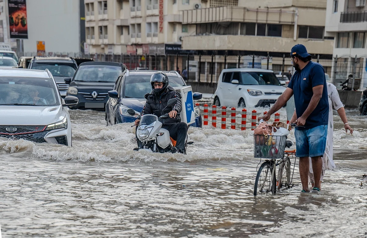
For regions such as Australia and parts of Asia, La Niña has been associated with wetter conditions and elevated risks of flooding. Its attenuation could ease some flood risk, but forecasters caution that neutral conditions do not guarantee normal weather, as other climate drivers and local atmospheric patterns will play significant roles. Similarly, in the Americas, La Niña’s influence on drought, fire risk and snowpack has been complex and varied, and its fading does not automatically resolve these patterns. Weather systems are shaped by an array of interacting forces, and ENSO is only one element in a multifaceted climate picture.
Experts are particularly vigilant about the potential rise of El Niño later in the year. As the ENSO state moves through neutral, statistical and dynamical models indicate that the likelihood of El Niño strengthening increases through the second half of 2026. If the event materialises, its hallmark warmer Pacific waters could then begin to tilt global temperature and precipitation patterns once more, with implications for seasonal forecasts and risk planning. El Niño phases have in past cycles been linked with elevated global temperatures, shifts in tropical cyclone activity, and altered rainfall patterns across Africa, South America and Asia.
Climate scientists highlight that while ENSO phases provide a large-scale framework for anticipating weather impacts, they are just one part of the broader climate system. Human-driven warming continues to raise baseline temperatures, amplifying the background conditions against which natural oscillations such as La Niña or El Niño play out. This interaction complicates attributions and projections, yet understanding the timing and strength of ENSO transitions remains pivotal for seasonal climate planning, agriculture and disaster preparedness in vulnerable regions.
The article La Niña’s influence set to wane as Pacific shifts to neutral state appeared first on Arabian Post.
What's Your Reaction?


